
Aerial Photography of Container Houses and Illegal Construction
Whether aerial photography of container houses indicates illegal construction depends on specific planning and approval conditions. Aerial photography technology can serve as a means for verifying illegal construction, but it must be carried out in accordance with laws and regulations.
Application of Aerial Photography Technology in Verifying Illegal Construction
Aerial photography technology has been widely used in the verification of illegal construction. For example, the Urban Management Bureau of Xinzhou District discovered multiple cases of illegal construction through aerial patrols, including newly added containers and unremoved attached houses from demolition and reconstruction projects. They confirmed the facts of illegal construction by verifying aerial photography images. In addition, aerial photography by drones combined with deep learning technology can enable the automatic identification of illegal buildings, improving verification efficiency. Through consumer-grade drones and open-source deep learning models, suspected illegal constructions can be automatically marked in aerial photography images, and the actual situations can be confirmed after on-site verification, significantly enhancing the accuracy and coverage of illegal construction verification.
Basis for Determining Whether Aerial Photography of Container Houses Indicates Illegal Construction
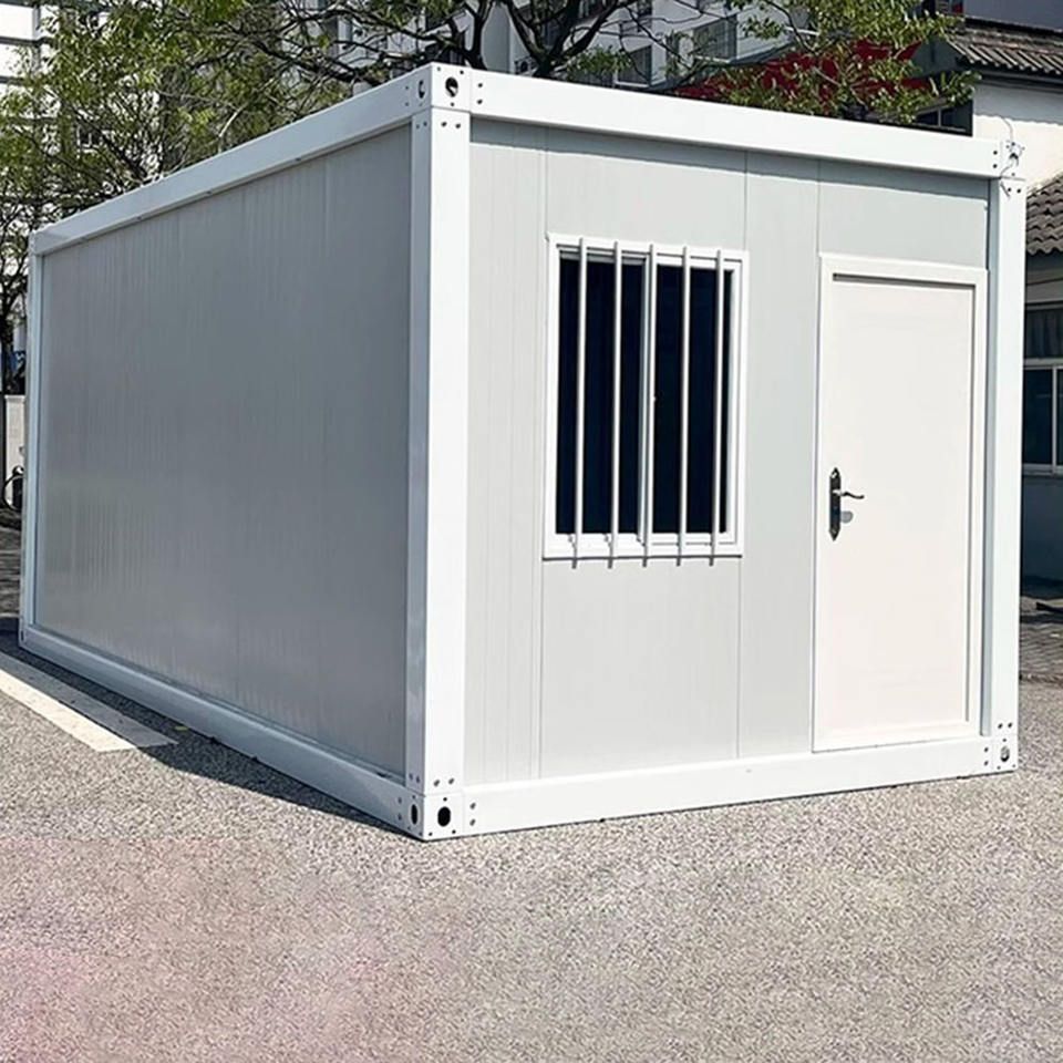
Determining whether container houses discovered through aerial photography are illegal constructions depends on land use planning and construction approval conditions. If a container house has not obtained relevant construction permits, exceeds the planned scope, or violates land use regulations, it is considered an illegal construction. For example, the newly added container in the town area of Chaoyang Town, discovered by the Urban Management Bureau of Xinzhou District through aerial photography, was confirmed as an illegal construction because it was not built in accordance with planning requirements.
Legality and Privacy Protection in Aerial Photography Verification
Aerial photography verification must comply with laws and regulations and respect residents' privacy rights. In the United States, there was a case where law enforcement officers used drones to photograph residents' houses and yards and obtained evidence to penalize illegal construction without applying for a search warrant in advance, triggering a privacy dispute. Eventually, Sonoma County reached a settlement with the American Civil Liberties Union, agreeing that law enforcement departments should not conduct drone surveillance of residential areas and their surroundings without a search warrant in non-emergency situations or without the consent of the property owners. This case indicates that aerial photography verification must be carried out within the legal framework to avoid infringing on residents' privacy rights.
Legality of Aerial Photography Images as Evidence
Aerial photography images can serve as evidence for verifying illegal construction, but they must meet legality requirements. Image collection must be carried out in accordance with the law, and the authenticity and integrity of the images must be ensured. For example, in the settlement agreement, Sonoma County stipulated that after drones photograph residents' houses, property owners must be informed whether their properties have been photographed, and the indefinite retention of residential images is prohibited. Images that are not necessary for investigations must be deleted within 30 days of collection. These regulations ensure the legality and compliance of aerial photography images as evidence.